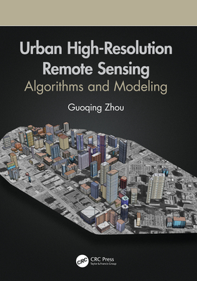
High Spatial Resolution Remote Sensing: Data, Analysis, and Applications (Imaging Science)
暫譯: 高空間解析度遙感:數據、分析與應用(影像科學)
- 出版商: CRC
- 出版日期: 2018-07-10
- 售價: $9,590
- 貴賓價: 9.5 折 $9,111
- 語言: 英文
- 頁數: 405
- 裝訂: Hardcover
- ISBN: 1498767680
- ISBN-13: 9781498767682
海外代購書籍(需單獨結帳)
相關主題
商品描述
High spatial remote sensing data have been often used as valuable sources of information throughout emergency management cycle. Information extracted in high spatial remote sensing data right after a devastating earthquake can help assess the earthquake's damage of roads and buildings and make emergency plans for contact and evacuation. The book will discuss emerging high spatial resolution data sources, and detail novel techniques and applications for handling, retrieving, and making best use of high spatial resolution remote sensing data.
商品描述(中文翻譯)
高解析度遙感數據在整個緊急管理循環中經常被用作寶貴的信息來源。在毀滅性地震發生後,從高解析度遙感數據中提取的信息可以幫助評估地震對道路和建築物的損害,並制定聯絡和撤離的緊急計劃。本書將討論新興的高解析度數據來源,並詳細介紹處理、檢索和最佳利用高解析度遙感數據的新技術和應用。


